 TransPhoto
Photos are published as is and do not have purpose to promote any political and/or ideological position.
All materials are provided by users and do not reflect the opinion of the site administration team.

<
>

 TransPhoto TransPhoto
|
|
Photos are published as is and do not have purpose to promote any political and/or ideological position. All materials are provided by users and do not reflect the opinion of the site administration team. 
<
>

|
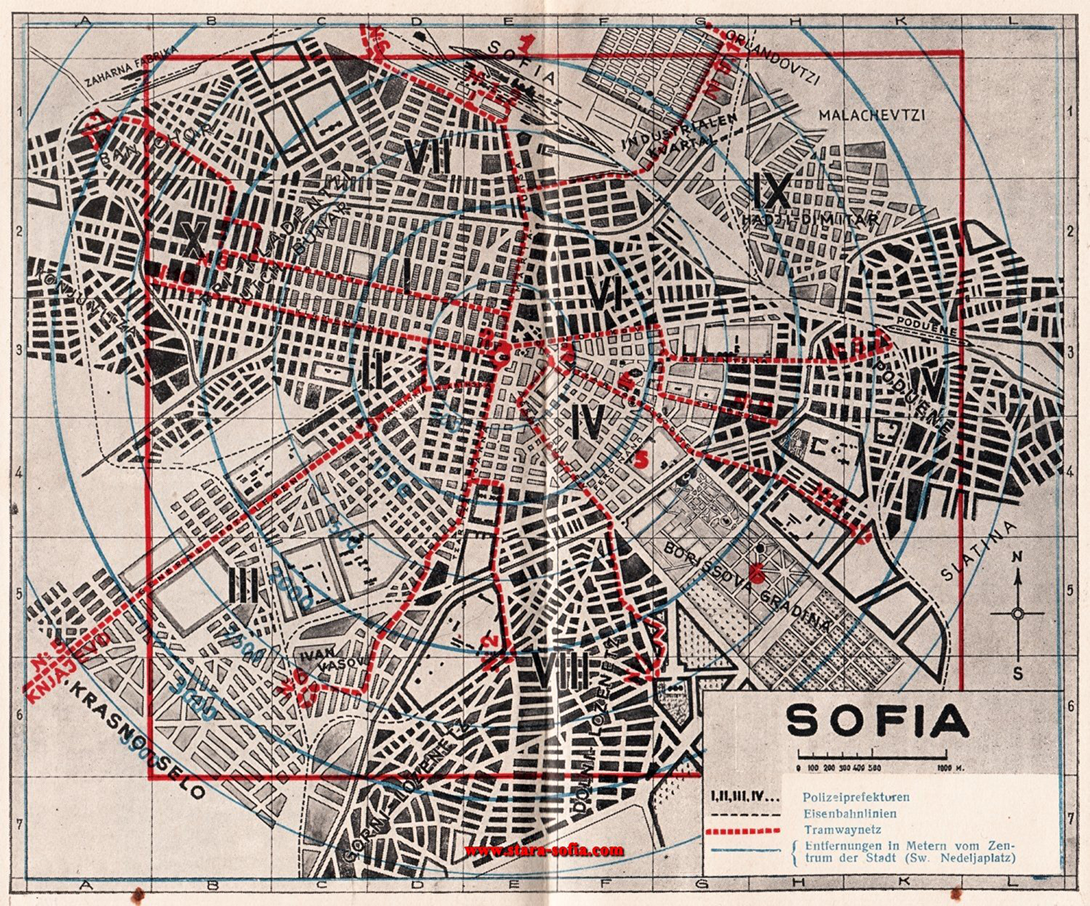
 Sofia Datums: 1939 g. (apmēram)
StatistikaNovērtēšanaPastāvīga saite uz fotoattēlu |
Komentāri · 1Jūsu komentārsDiskusijas par politiku slēdzeni uz 1 mēnesi
Tu ne ienāci vietni.Komentārus var atstāt tikai reģistrēti lietotāji. |
| Galvenā Forums Noteikumi Redkolēģija Mobilā versija Dark Theme © TransFoto administrācija un materiālu autori, 2002—2025
Vietnē publicēto fotogrāfiju un citu materiālu izmantošana ir atļauta tikai ar viņu autoru atļauju. |
Saite